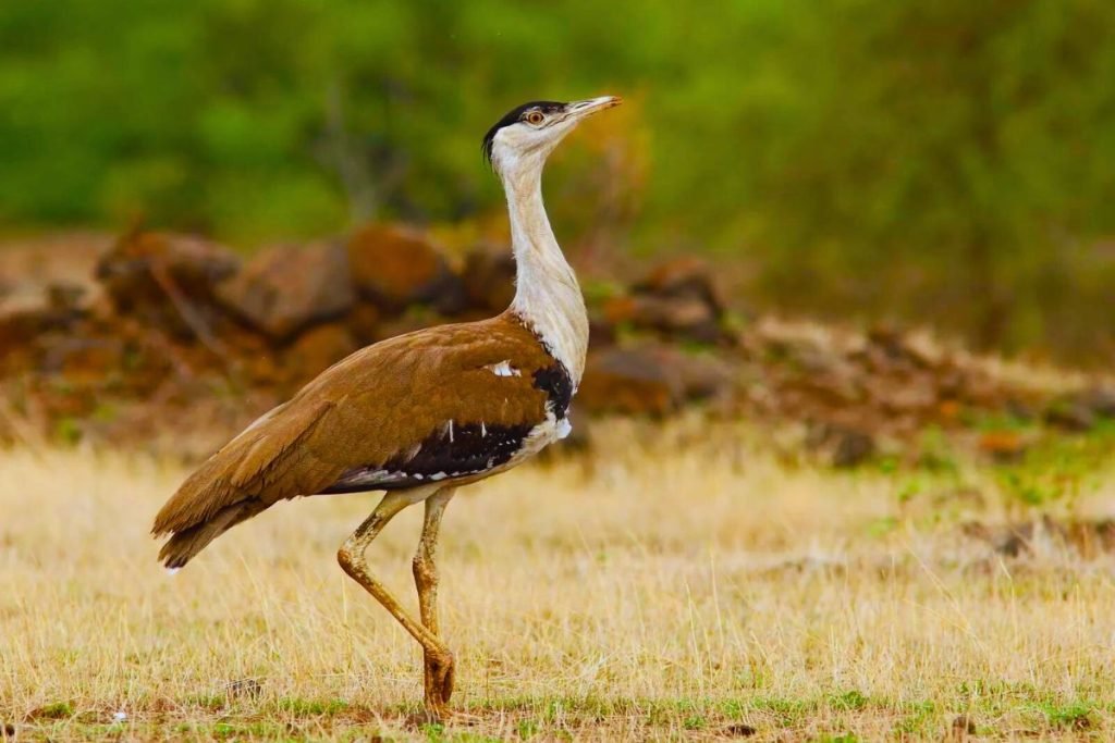
The global loss of biodiversity has pushed avian species toward a critical tipping point, with modern extinction rates mirroring the five major mass extinction events in Earth’s history. Traditional conservation relies heavily on manual population counts—a process that is famously slow, localized, and physically exhausting. However, a major global study led by researchers at The University of Queensland (UQ) reveals that combining artificial intelligence with drone imagery can accelerate bird detection by 85 percent compared to standard human analysis.
By turning the sky into a digital canvas, this computational approach establishes a fast, scalable monitoring network across vast, otherwise unreachable ecosystems.
Sky-High Surveillance
The international study utilized a massive, biologically and digitally diverse dataset of nearly 50,000 individual birds spanning more than 100 species to train and refine the underlying AI model. Field tests ranged across vastly different environments, from tracking breeding populations of Chilean flamingos in southern Peru to analyzing sweeping, sensitive coastal wetlands.
The machine-learning algorithm specializes in parsing complex visual data from open, low-canopy environments where birds naturally congregate. Instead of replacing human expertise, the tool acts as an automated triage system for raw imagery. It rapidly scans thousands of aerial frames, instantly applying digital bounding boxes to identify specific species with exceptional speed and precision.
Rescuing Scientists from the Mud
For field ecologists, the primary bottleneck has shifted from a lack of data to an absolute data deluge. Manually counting every wing and beak in tens of thousands of high-resolution drone photos takes weeks of tedious office work.
“Drones and AI work particularly well for large-bodied birds in open habitats,” explains lead author Dr. Joshua Wilson. “They shouldn’t replace experienced surveyors, they should free them from wading through knee-deep mud or manually detecting every bird in tens of thousands of images.”
By removing the mechanical burden of data counting, local wildlife experts are granted a critical asset: time. They can pivot away from staring at individual frames and focus entirely on interpreting macro data trends, designing proactive protective measures, and advocating for swift environmental policies. In hundreds of coastal wetlands home to vulnerable species like the critically endangered Curlew Sandpiper, this sudden acceleration in data processing can mean the difference between immediate protection and localized extinction.
Clearing the Wilderness Photo Bottleneck
The aerial drone breakthrough aligns with a broader push to automate environmental monitoring ecosystems. Alongside sky-based AI, UQ researchers also launched the Wildlife Observatory of Australia (WildObs), a centralized cloud platform running computer-vision models trained specifically on native animals and environments.
While drones keep watch from above, thousands of motion-activated camera traps strapped to trees collect millions of ground-level images. The WildObs platform processes these massive image hauls ten times faster than humanly possible. To maximize global conservation efforts, the UQ drone model and dataset have been made entirely open-access, allowing researchers around the world to download the code, refine the algorithm, and deploy automated avian protection nets in their own local ecosystems.