
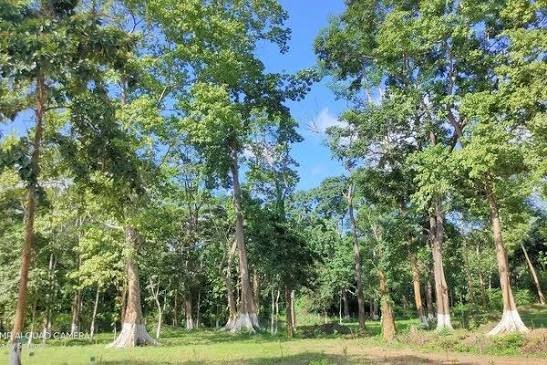

The Assam government has directed the state forest department to use artificial intelligence and satellite imagery to identify forest encroachment before it expands into large settlements.
Chief Minister Himanta Biswa Sarma issued the direction on October 23 while launching a new online transfer system for forest department employees at Lok Sewa Bhawan in Dispur.
He asked officials to build an early-warning mechanism capable of detecting changes inside reserve forests and flagging possible encroachment.
The government also wants a central database of encroached forest land and immediate afforestation on areas recovered through eviction drives.
FCRF’s Chief AI Officer Certification Returns on November 14 to Prepare Future AI Leaders
AI System Will Flag Changes in Reserve Forests
The proposed system would combine satellite imagery with AI-based analysis.
Satellite images can show changes in land use over time, including new structures, vegetation loss, road construction or clearing inside protected areas.
AI can then analyse large volumes of imagery and identify locations where unusual changes have appeared.
That could allow forest officers to investigate a site before an illegal settlement becomes large.
Sarma said officials should not wait until encroachment spreads across substantial areas before approaching police for assistance.
He asked divisional forest officers to take preventive action much earlier.
The exact technology platform, satellite provider and implementation timeline have not yet been publicly announced.
Assam Wants to Avoid Large Eviction Drives
The directive comes after a series of major anti-encroachment operations across Assam.
The chief minister said more than 600 hectares of forest land had recently been cleared of encroachment.
Recent eviction drives have involved hundreds of families and large numbers of structures across reserve forests.
Such operations can require substantial police deployment and often become socially and politically contentious.
The government’s argument is that early detection could reduce the need for large-scale clearances later.
If officials identify a new encroachment while it is still small, enforcement action may be easier and less disruptive.
That makes the proposed AI system partly an enforcement tool and partly a prevention mechanism.
Satellite Imagery Can Create a Time-Based Record
One advantage of satellite monitoring is that it creates a historical record.
Officials can compare imagery from different dates to determine when a structure or clearing appeared.
That can help establish whether land occupation is recent or has existed for years.
It can also help authorities monitor whether cleared areas are being reoccupied.
Assam wants forest officials to maintain a database of land already identified as encroached.
Satellite data could make that database more dynamic by showing changes continuously rather than relying only on field inspections.
However, imagery alone cannot establish whether an occupation is legally valid.
Land rights, forest rights claims, court orders and historical records may still need to be examined before enforcement action is taken.
AI can flag a change, but officials would still need to verify what that change actually represents.
Afforestation to Begin Immediately After Clearance
Sarma also directed the forest department to begin afforestation on reclaimed land as soon as encroachments are removed.
The aim is to prevent cleared areas from remaining vacant and vulnerable to fresh occupation.
Replanting can also help restore degraded forest cover.
The government has been carrying out eviction drives across reserve forests in several districts.
Earlier this month, authorities cleared more than 300 hectares from Lutumai Reserve Forest in Nagaon district and evicted hundreds of families.
Other operations have taken place in Hojai, Golaghat and neighbouring areas.
The government describes these actions as efforts to reclaim protected forest land.
Opposition parties and affected communities have challenged aspects of some eviction drives, including how residents are identified and removed.
That makes accurate land records and verifiable evidence particularly important.
Forest Department Also Asked to Plug Revenue Losses
The chief minister’s directions went beyond encroachment.
He asked the forest department to increase revenue collection, which he said had remained around ₹700 crore annually for the past three years.
He also called for loopholes causing revenue losses to be closed.
Sarma said the state should create more legal sources of stone, sand and other construction material to reduce illegal quarrying and mining.
Demand for these materials is rising because of major highway and infrastructure projects in Assam.
The government argues that regulated quarrying could both generate revenue and reduce illegal extraction.
The October 23 meeting also saw the launch of the Employee Transfer Randomization System.
Through the new portal, transfers of 2,137 eligible forest department employees were processed.
The system is intended to make transfers more transparent and reduce discretionary decision-making.
The government now wants other departments to consider similar digital transfer mechanisms.
What this means for you:
AI and satellite imagery can help authorities detect land-use changes much faster than periodic physical inspections. But any enforcement action still needs human verification, accurate land records and compliance with legal protections governing forest and land rights.
Follow for daily updates on cybercrime, corporate fraud, DFIR, hacking, investigations, and digital forensics