
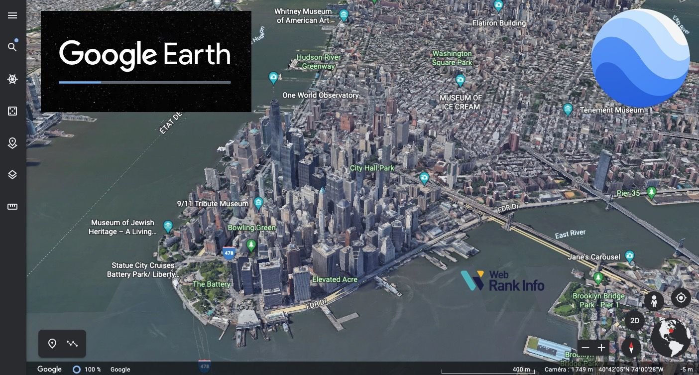
Google has rolled back a newly introduced Google Earth feature that allowed users to generate AI visualisations using the platform’s satellite imagery, less than a day after its launch. The company announced the decision after concerns were raised by researchers and members of the open source intelligence community over the potential spread of disinformation through the tool.
Feature Withdrawn Within 24 Hours
The feature, called “Create Image,” was introduced on Thursday, July 30, and integrated Google’s Nano Banana 2 image generation technology into Google Earth. It allowed users to zoom into locations and generate AI-created images in seconds using Google Earth’s satellite, aerial and 3D mapping data.
The rollback came within 24 hours of the feature’s release following criticism about the risks associated with AI-generated visual content based on mapping imagery.
Tool Combined AI Image Generation With Google Earth
In its initial announcement, Google said the feature was designed to work with users’ imagination. Users could zoom to a location in Google Earth on the web, select the “create image” option and enter a prompt describing what they wanted to see.
According to the report, the feature combined AI image generation with Google Earth’s existing satellite imagery, aerial photography and 3D mapping capabilities.
Google Says It Has Paused the Feature
In a statement announcing the decision to pause the feature, Google said it recognises that people rely on Google Earth as a dependable way to view the world.
The company has not provided additional details in the visible portion of the report, but the feature has been paused following concerns that it could contribute to the creation and spread of misleading or fabricated visual content.